Atlas A settlement along the Cosia

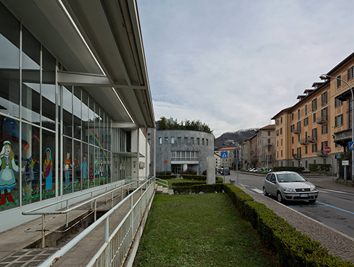
The zone extending along the Cosia River (now known as viale Innocenzo XI after the waterway was covered over) exemplifies the process of anthropization of the valley due to the historical location of textile mills between the city’s original built-up area and the hills. In this zone, originally agricultural, some manufacturing clusters were installed in the 19th century, including one that developed by the century’s end into the great Tintoria Comense (dye works). The various production departments abutted onto an axis of the internal road axis, forming a coherent ambit opposed, but spatially connected, to the historical presence of the complex of S. Abbondio. After the closure of the dye works, recent reuses have led to the site’s regeneration.
Significant architectural works
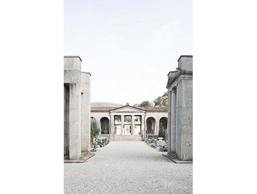
Basilica of S. Abbondio, via Regina Teodolinda, built: 11th century over a 5th-century basilica; rebuilt in classical forms by Giovanni Antonio Piotti da Vacallo: 1590 and f.; Serafino Balestra, historicist restoration: 1863 and f.
Cloister of S. Abbondio, (Benedictine monastery, then the Episcopal seminary, now the Università dell’Insubria); built in the 11th century; restructuring and building of the south and east sides of the cloister: 16th century; renovation and expansion: 19th and 20th century.
Former Church of SS. Cosma and Damiano, via Regina Teodolinda 27, built in the 11th century on an early Christian basilica; alterations: early 16th century; restoration: 1990s.
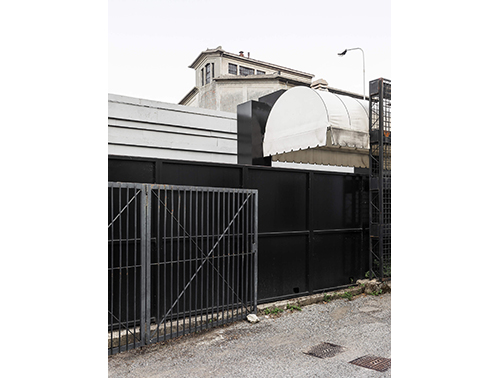
Former Ticosa industrial complex, viale Innocenzo XI, 1872 built for the Saba Frontini, later Tintoria Comense (dye works); extensions until the first half of the 20th century; late 20th century, early 21st century restructuring and reuse for artisanal and tertiary functions and art studios.